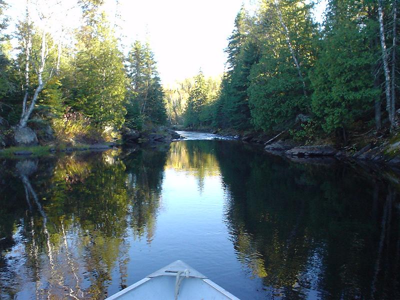
Approaching the Swift Narrows from the south, going with the current. You are about 3 miles north of the cabins.
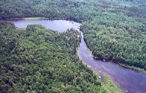
Here is the 7-Mile Narrows seen from the air looking North. In this picture the river runs from right to left.
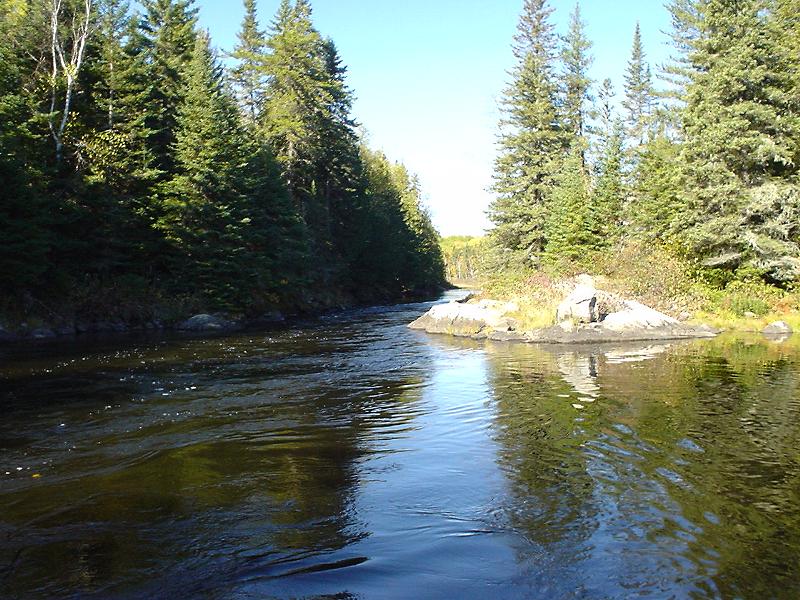
And this is the same narrows but looking upstream from below.